Mid-term review of building drought resilience project, Kenya and Uganda
Project Time :
Geo-mapping for Hay making in Climate Stressed Rangelands project map themes
Three map themes are presented and these include:
Theme 1, availability of forage for Hay making in relation to distance from the road
Theme 2, availability of forage for Hay making in relation to distance from functional water points
Theme 3, availability of forage for Hay making in wetlands
THEME 1, AVAILABILITY OF FORAGE FOR HAY MAKING IN RELATION TO DISTANCE FROM THE ROAD
Hay making may be for own use or for sale to other farmers or traders. When hay is made for commercial purposes, proximity of forage (for hay making) to the road is a factor to consider. This map informs farmers, policy makers and promoters of hay making technology about forage availability in relation to distance from the road.
A map layer e.g., forage stock within 3km to the road can be displayed and removed by checking it on and off respectively. Below is the map illustration
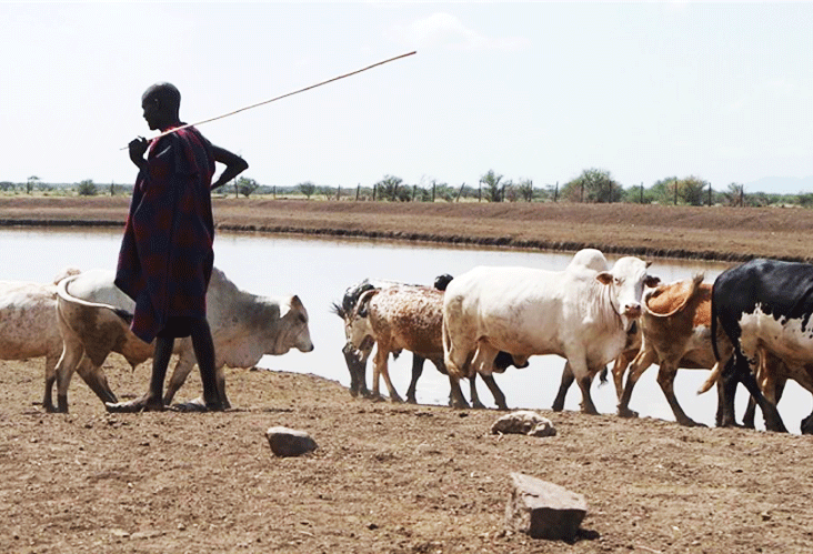
THEME 2, AVAILABILITY OF FORAGE FOR HAY MAKING IN RELATION TO DISTANCE FROM FUNCTIONAL WATER POINTS
In climate stressed areas, availability of water especially in the dry season is an important factor to consider for any intervention including hay making. The purpose of this map is to relate forage availability for hay making in relation to functional water points.
THEME 3, AVAILABILITY OF FORAGE FOR HAY MAKING IN WETLANDS
In the climate stressed areas, wetlands are important sources of forage in the dry season when other area lack forage or are burnt. The map shows how much hay may be harvested from these areas- apparently not much because they are getting overgrazed.