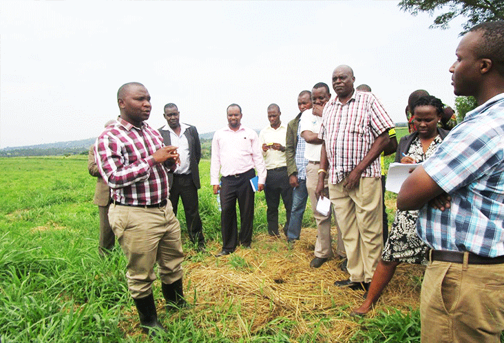
Geo-mapping for Hay making in Climate Stressed Rangelands (Geo4HCR)
Project Time : 2014 - 2015
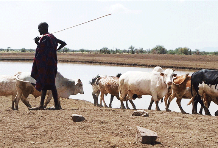
- Carry out a socio-economic survey to select species of hay value from natural vegetation (based on nutritive and resilience indicators): e.g., yields, nutritive value (consider nutrient requirements of the targeted animals), drought, and disease resistance (Corriher, et al. 2010).
- Develop Remote Sensing(RS) variables and indigenous knowledge indicators (IUNC, 2009)
- Map rangeland vegetation variables such as species, leaf area index (LAI), Biomass and net primary productivity (NPP)
- Identify and map environmental and socio-economic factors e.g. climate (rainfall, temperature, solar radiation), topography, geology, soil, drainage patterns, road networks, and population characteristics
- Establish a methodology for querying spatial patterns of vegetation, environmental and socio-economic variables in ArcGIS to map suitable areas for hay production
- Build a spatial model for optimal hay production areas
The project was expected to be implemented in the period starting from September 2014 and ending in July 2015.
This work was to help accomplish RCMRD/SERVIR-Africa’s goal of promoting sustainable development through the use of geospatial tools and information dissemination through the following ways:
- Use of RS images specifically through the development of guidelines for mapping rangeland biophysical characteristics from Landsat and MODIS imagery
- Development of GIS decision support tool for hay production and guidelines for using GIS decision support tools to enhance climate change adaptation in dryland areas of Africa based on the Uganda cattle corridor experience.
General information on how to use the interactive maps
- These maps are open by any internet browser.
- One needs internet connectivity to view the Maps
- The maps will be available on the ESIPPS website: www.esipps-int.org
- An interactive viewer is a live tool, meaning that continuous update of the maps is possible depending on topographic map updates and new satellite data as it becomes available.
How to display the map
- Click on the map thumbnail provided in the document
- The map displays in the browser
- Menu items have been provided and there functions are discussed below.
- You can search for content on the map depending on district name level i.e. (Nakasongola, Nakaseke and Luwero) where the project research was carried out from
Menu Items and their functions
Details; click in this icon to display contents or remove contents window from display
Base map; this for choosing base map of one’s choice e.g., topographic, streets, satellite
About; Clicking on about to displays general information about the map; who made it, when it was last modified and any other information under details
Content: allows the user to view the themes or map layers that were used to compose the map. Map layers can be switched (ticked) on and off depending on the viewer’s interest.
Legend; this displays the legend so that the viewer relates legend to the map.
Zoom in Zoom out icon; this has three parts; the zoom in option (+), the default extent and the zoom out (-) option. These three options plan panning option enables the viewer to display area of interest on the map. In addition to the legend and zoom in tool, the popup option has been enabled so that click on any part of the map displays other details.