What's New in ArcGIS Pro 3.0 Thursday, 12 January 2023 |11am -12pm EAT This webinar will highlight new performance and
At ESIPPS International Ltd we joined Women’s day celebrations with a special purpose to congratulate our own Executive Director, Dr.
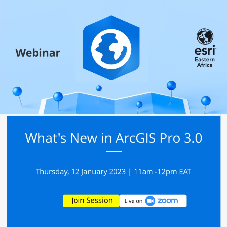
UCDA(Uganda Coffee Development Authority) agrees to partner with ESIPPS International Limited on coffee mapping covering the whole country (Uganda). However,
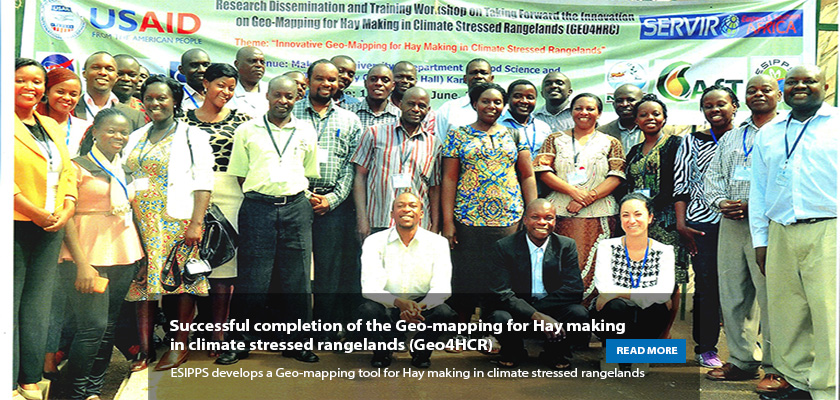
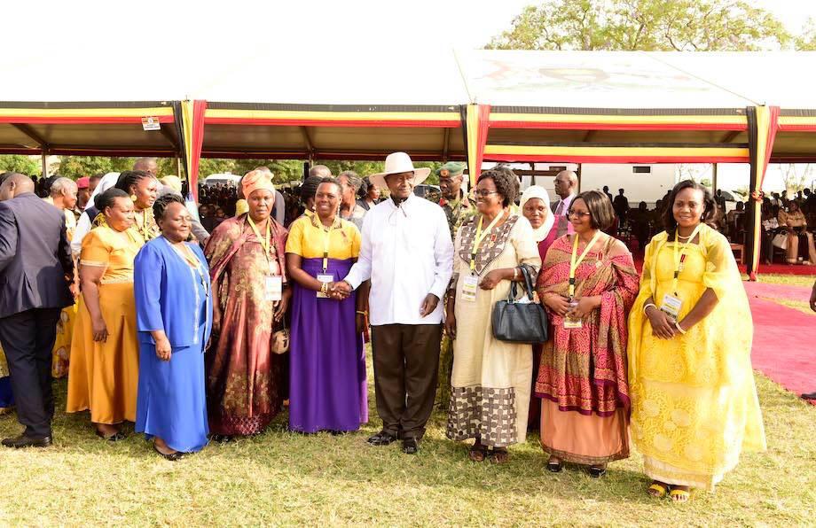
ESIPPS would like to thank all partnering institutions that helped in implementing this project: Council for Scientific and Industrial Research
The hay making project has high potential in the three districts given the occurrence and severity of the dry weather
Join Climate Change, Agriculture and Food Security for a live webcast on closing the gender gap in farming under climate
On behalf of the National Environment Managment Authority (NEMA), ESIPPS International Ltd is in the intial stages of developing the
The Faculty of Geo-information Science and Earth Observation (ITC), University of Twente in the Netherlands has recently embarked on increasing
ESIPPS international has been involved in research activities that require the use of remote sensing data and the use of
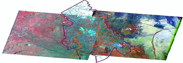
Methodology: The study covered the Okok River sub-catchment drained mainly by the River Okok that runs through four Districts of