ESIPPS is inviting participants to be part of the training course about Wetland Vulnerability Analysis using GIS and Earth Observation
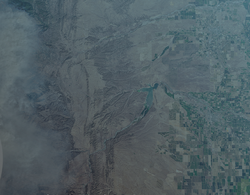
May 11, 2021 - May 27, 2021 Fires are a growing concern, especially in regions with longer fire seasons, expanded
The session is open to the public to attend since we will be showcasing and discussing geospatial data access at

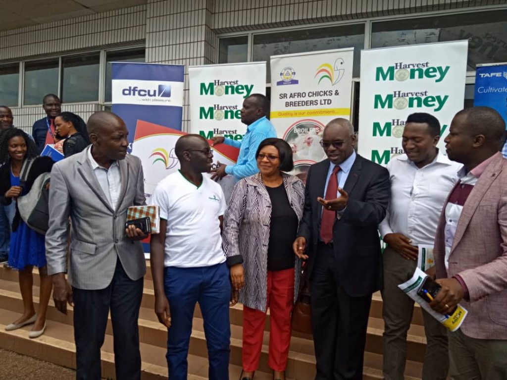
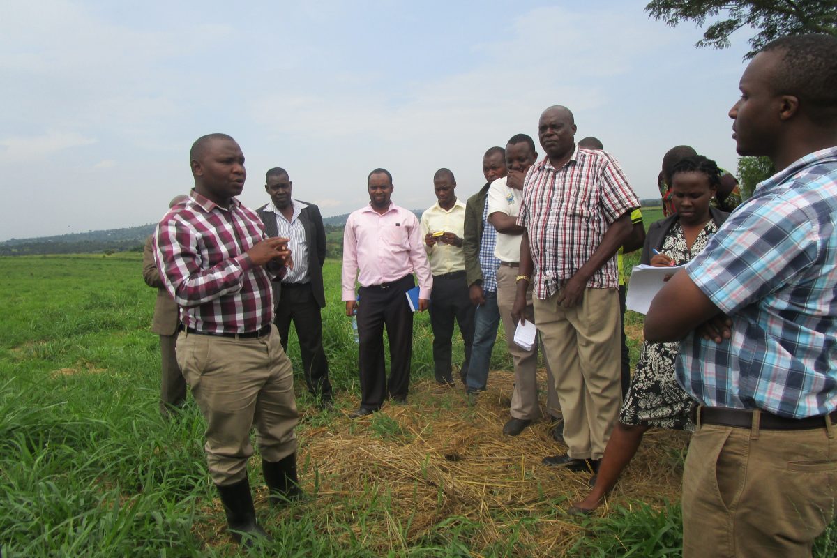
ESIPPS team on 19/02/2020 talked about promoting digitizing Agriculture in Uganda at Uganda Media center
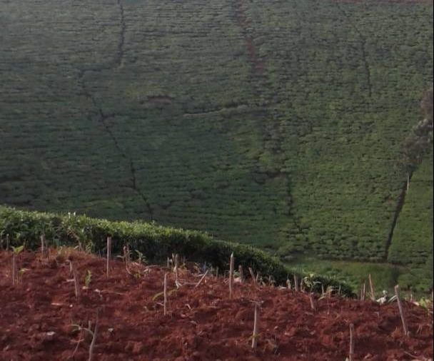
Agribusiness enterprise development in Uganda (Phase 1) Support to the development of (Spatial) data management systems within Uganda . Agribusiness,
ESIPPS International Ltd has developed an interactive viewer of hay-making potential areas as part of a small grant on Geo-mapping